
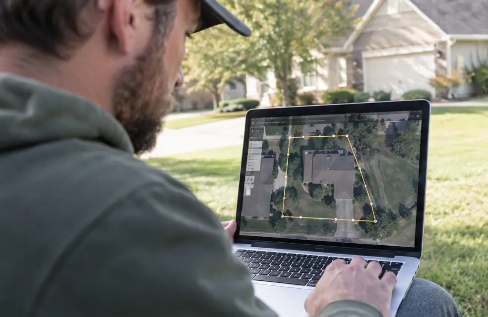
Driving to a property just to measure the lawn costs you 30 to 60 minutes and fuel, often for a job that does not close. You can get a good measurement from a satellite map in two minutes.
What you need
- The property address
- A map tool with satellite view and an area tool (Google Earth, many mapping apps, or the calculator on your website)
Step by step
- Find the property. Type the address and switch to satellite view. Zoom in until you can see the edges of the lawn clearly.
- Trace the turf, not the lot. Click around the grass area only. Skip the house, driveway, patio, pool and planting beds.
- Do each area separately. Front yard, back yard and side strips are easier to trace one at a time. Add them up.
- Write down the total. Most tools show square feet. That is the number your pricing uses.
Tips for an accurate number
- Use the most recent image. Some satellite photos are a few years old. If a new pool or extension is missing, adjust.
- Watch for trees. Large trees hide turf. Trace where the grass probably is under the canopy.
- Check the slope. The map shows flat area. A steep hill has more real surface and takes longer to mow. Add a slope charge.
- Round up a little. Trimming around beds and fences takes time the map does not show.
Turn square feet into a price
Once you have the number, apply your pricing. A common setup is a base price plus a rate per 1,000 square feet. For example:
- Base: $35 (covers the stop, trimming and blowing)
- Plus $4 per 1,000 sq ft above 3,000
A 7,500 sq ft lawn would be $35 + (4.5 × $4) = $53 per visit.
Let the customer measure it
The faster option: put the measuring tool on your website. The customer types their address, traces their own lawn and sees your price range right away. You receive the lead with the square footage and the service they picked.
This does three things for you:
- You stop driving to estimates for jobs that were never going to close
- The customers who call already accepted your price range
- You get leads at night and on weekends, when homeowners are actually looking
When you still need to visit
Satellite measuring is great for mowing, fertilizing and aeration. For sod, hardscape, drainage or big cleanups, a visit is still worth it because soil, access and grading matter. Use the map to pre-qualify, and visit only the serious ones.
Frequently asked questions
How accurate is measuring a lawn from satellite images?
Usually within 5 to 10 percent for open lawns, which is enough to quote mowing. Trees, slopes and old images make it less exact, so confirm on the first visit.